

Dennis Weaver Memorial Park, Ridgeway, CO
Montrose, CO to Ely, NV – I promised my friend that I’d try to stop in Ridgeway, CO, at the Dennis Weaver Memorial Park. She’s one of those people who discover all the quirky-cool things in town, and being a hospice social worker, the little sign for a memorial park caught her eye. I’d been to Ridgeway the year before and chanced on their first ranching rodeo. All sweet towns have a memorial park and a rodeo.
The Dennis Weaver Memorial Park is a circular garden surrounded by boulders with a large rock pile in the center. The pile is about ten feet tall and the most striking part is the bronze eagle with a 21-foot wingspan frozen in a swoop over the garden. A hot air balloon rose in the distance. All around the boundary stones of the garden people come to stack three rocks with intention or memory to those who’ve gone before us. Each section of the garden aligns with a cardinal direction, color and different intention: north/white for wisdom and logic; south/red for water, trust and innocence; east/yellow for sun and illumination; west/black for the earth and insight.
At the back of the garden, a solstice boulder lines you up with the tip of the eagle’s wing and where the sun will rise on summer solstice. I placed a small rock next to two stacks, making a best guess for where my friend had placed stones for her dogs — the boys — Chester and Stanley. My intention was for free spirits and peace. The breeze blew slightly and a little brown bird hopped around as I left. Onward, I thought, onward to Nevada.
I heard that the drive to Naturita, CO, was beautiful and soon realized it was also up or “fun driving” I’d call it. The highway lifts you along the edge of a valley rimmed in reddish foothills and then up to the plateau farms of the western slope where rests the quaint town of Naturita. I was considering what to explore there when I saw the sign for Nucla.
Nucla, CO, is a mining town established in 1904 to support the uranium mining industry. When prices for uranium crashed, many of the mines closed and the townspeople found other ways to make a living. A little known fact: it’s also where archaeologists found corn dating back to 270 BC, the earliest found in the state of Colorado. A much more known fact: residents of the town of Nucla are required to own a firearm.
I stopped into the Nucla Ace Hardware to use the bathroom. Sidebar Tip #146: hardware stores and car dealerships are some of the best places to stop for information when you’re on a roadtrip – hardware store folks know where everything is located and dealerships (Toyota, in my case) are filled with folks who like to drive, which is what you are doing on a roadtrip.
When I was done – yes, it was very clean – I asked the woman at the counter, “So is it true that, to live in Nucla, you are required to own a gun?”
She smiled as she placed a slip of ads next to the register, “Yes, as long as you are competent.”
“Oh. Wow. So, do you have to carry it on you?” I wondered if she was packing under her red apron. I wanted to call it a “frock” but my sister, who worked at Ace, said they are called “aprons”.
“Oh no,” she replied, turning down the sides of her mouth in a “don’t be silly”. She still didn’t disclose if she was.
“So…it’s an old law from back in the mining days?”
“No, it was passed last year – we made national news. We were in the Denver Post just three months ago.”
“So, it’s for protection? Like universal precautions?” You will be required to carry nitrile gloves and a gun from now on, for everyone’s safety…and get a flu shot.
“Yeah, it makes everyone safe.”
I nodded. I’d grown up too close to Canada to completely agree. She assured me that there wasn’t a lot of crime in Nucla – it was just a precaution for everyone’s safety. Even though I was safe, I decided to continue my journey.
The highway took me west through the little town of La Sal to La Sal Junction. I turned north toward Moab, past Hole-in-the-Wall where some stunt-devil had stopped his Jeep 300 feet above the highway on the edge of a cliff pointing down at the road. I wondered what my family would say if I were smashed by a falling Jeep.
I love Moab. I only stopped long enough to buy groceries and find out if the beer I wanted to buy for my aunt and uncle would keep. Moab was the site of our epic spring break trip last year. The beer would keep if I kept it below 80 degrees, I was told. I was headed into the desert though so I passed and waved to Arches National Park on my drive up to I-70.
Let the records state that on the drive from Crescent Junction to Salina, I’m was pretty sure there was nothing. “Nothing-land,” I texted with a picture of the massive dirt piles of Utah to my parents. My mom texted back: Pretty sure I’ve been there. Knobs, rocks, rifts and reefs all looked like huge grey piles to me, until Salina.
Round Valley outside of Scipio, UT
A few miles out of Salina on route 50, you cross into a magic fairyland of verdant ranch pastures, black angus cows and wooden barns – the Round Valley. The sun filters there somehow and I would not hesitate to recommend any farm products (I should say food) from this valley, by all beautiful outward appearances. And Scipio, Utah? It could be its own “out west” calendar. Photographer friends, take note. I dropped off the Pahvant Range though, into something else entirely.
Somewhere in my car-bound musings, I had decided to drive part – if not all – of “The Loneliest Road” across Nevada: Route 50. Route 50 begins where I-70 ends, if you were to pretty much go straight at Salina. Salina to Scipio, as I said, made me believe in Utah again. (I tend to not always like their driving styles plus I prefer the underdog states but that’s another story.) So I dropped south on I-15 to Holden, turned west, and realized that Route 50, technically, started here. And it was by far the loneliest section I drove.

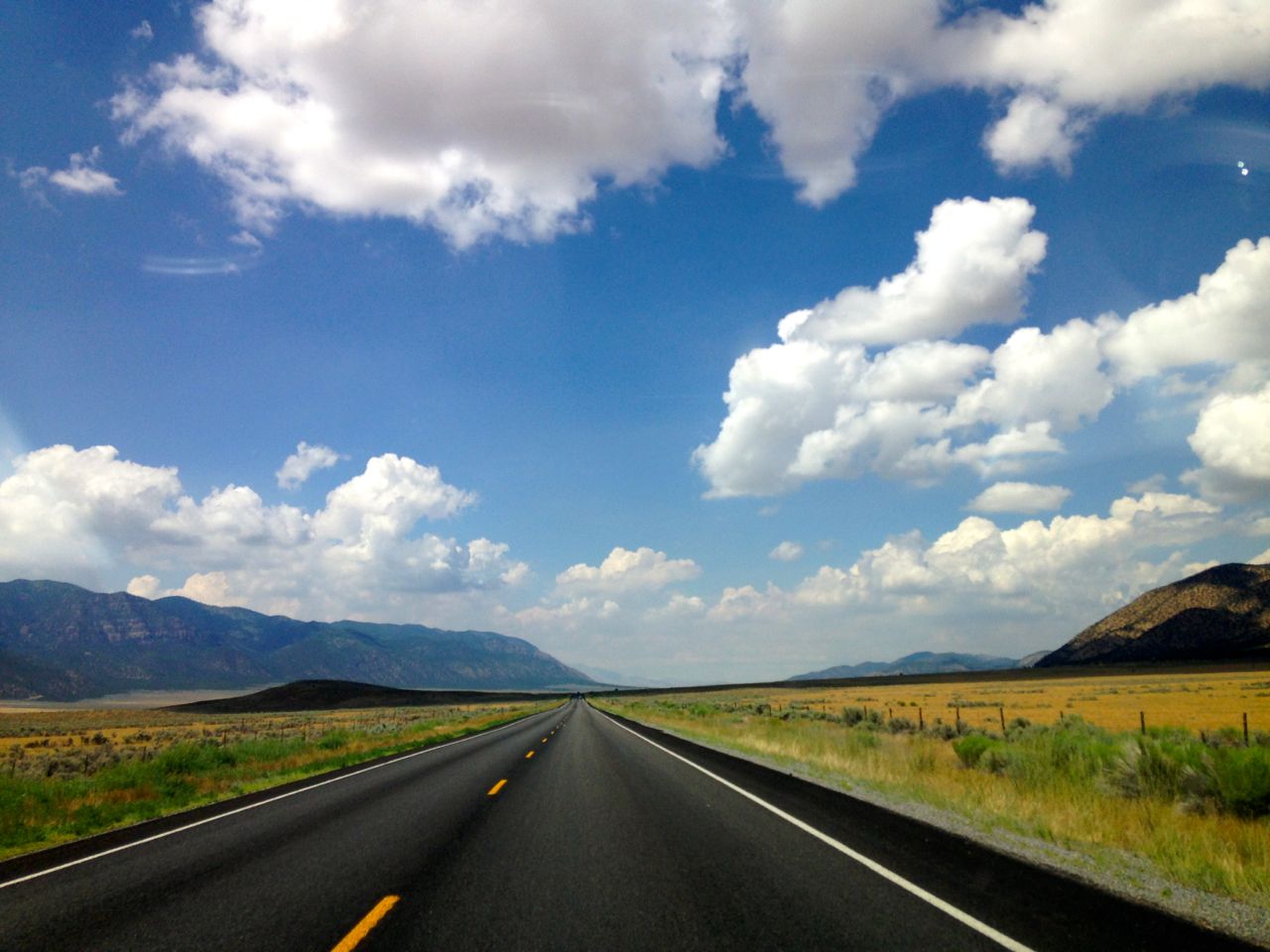
Dusty open range between Holden and Delta, UT
The highway between Holden and Delta is bleak. Miles of barbed wire fences; flat, sparse ochre-colored fields with grey dirt; soft road shoulders that looked like the surface of the moon. Occasionally I passed an industrial hay barn. I stopped for gas in Delta and asked a woman at Sinclairs about the Topaz Internment Camp. How far away is it?
“About, mmm…40 miles.”
My map said five but it was from Canada.
“Is it worth seeing?” I asked. She stalled.
“Well, it’s just a few foundations. And you can read a plaque.”

Looking out across nothing-land toward the Topaz Internment Camp near Delta, UT
I left. Our government locked up over 120,000 persons of Japanese ancestry, mostly citizens, during World War II, and the buildings no longer stand? I saw a sign pointing to a long dusty soft-shouldered road in the opposite direction of what my map said, just 10 miles out of town and decided to pass. Shouldn’t there be more than just a little brown sign?
It’s a long road from Delta to Ely, Nevada. I almost missed the “Welcome to Nevada” sign tucked in a valley lined with sagebrush (as in, enough sagebrush to smudge the world). Every few miles, a dirt road stretched out perpendicular to the highway, going off into who-knows-where – farther (almost) than my curiosity. I skipped Great Basin National Park – the loneliest road was starting to get to me – and pulled into the Ely KOA with a sore knee from driving.
“Where are you from?” Emily asked with her yellow KOA shirt and bone earrings that seemed way too hip for Ely.
“Washington but I was in school in Denver,” I said, trying to get the ache in my knee to go away.
“Where in Washington?” she asked.
“Oak Harbor but most recently Mount Vernon.”
“Oh, I’m from Snohomish! We moved from Bellingham.” She smiled and she pointed at her partner. Thus the cool earrings.
“Are you tenting?”
I nodded.
Her partner said, “Give her T7.”
And that was how I landed in the most precious grassy tent site with a view of the desert for the evening. Take that, loneliest road.

Campsite T7 at the Ely KOA in Nevada
